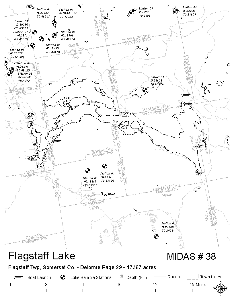
Flagstaff Lake (Dead River Flowage)
Eustis, Bigelow Twp, Carrying Place Town Twp, Dead, Somerset, Maine
MIDAS 0038
| Area (acres): | 17380 |
| Perimeter (miles): | 147.2 |
| Mean Depth (feet): | 18 |
| Max Depth (feet): | 50 |
| Delorme Page: | 29 |
| Fishery Type: | Warmwater |
| Invasive Aquatic Plant Infestation: | None known |
Other Lake & Watershed Information
Boating & Fishing Regulations for this and other Maine waters are available here.
![]() Boat launches
Boat launches
![]() Hills and mountains
Hills and mountains
![]() Nearby lakes
Nearby lakes
NEARBY LAKES
Distance is measured from lake centroid to lake centroid
- Spring Lake 3.69 miles northeast
- The Horns Pond 4.26 miles south
- Cranberry Pond 4.81 miles southwest
- Butler Pond 6.04 miles west
- Lower Shaw Pond-South 6.04 miles northeast
- Jones Pond 6.04 miles southwest
- Huston Brook Pond 6.04 miles southeast
- Stratton Brook Pond 6.23 miles south
- Shaw Pond 6.39 miles north
- Lower Shaw Pond-North 6.68 miles north
Flagstaff Lake (Dead River Flowage)
Terms of Use: click here »


