
Second Machias Lake (Kebumkewis, Numchenugmawis)
T36 MD BPP, T37 MD BPP, Washington, Maine
MIDAS 1138
| Area (acres): | 182 |
| Perimeter (miles): | 2.8 |
| Mean Depth (feet): | 7 |
| Max Depth (feet): | 12 |
| Delorme Page: | 35 |
| Fishery Type: | Warmwater |
| Invasive Aquatic Plant Infestation: | None known |
Other Lake & Watershed Information
Boating & Fishing Regulations for this and other Maine waters are available here.
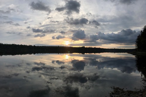
Sunset - taken from beach at south end campsite
Photo: Second Machias - A. Cortese
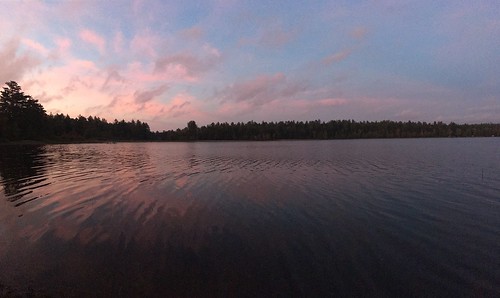
Sunset - taken from beach at south end campsite
Photo: Second Machias - A.Cortese


![]() Boat launches
Boat launches
![]() Hills and mountains
Hills and mountains
![]() Nearby lakes
Nearby lakes
NEARBY LAKES
Distance is measured from lake centroid to lake centroid
- Fletcher Pond 1.20 miles southwest
- Knox Lake 2.29 miles southwest
- First Machias Lake (Lower Sabao, Usmquasquospem, Wiscogosis) 2.29 miles southeast
- Little Musquash Lake 3.50 miles east
- Fourth Lake 3.50 miles east
- West Monroe Pond 4.00 miles northeast
- East Monroe Pond 4.43 miles northeast
- Third Lake 4.43 miles east
- Lower Getchell Lake 4.83 miles north
- Third Machias Lake 4.86 miles north
Lake Water Quality Reports
Summaries for most often used measurements to describe the water quality of Second Machias Lake (Kebumkewis, Numchenugmawis).
Second Machias Lake (Kebumkewis, Numchenugmawis)
Terms of Use: click here »