
Otter Pond #2
Standish, Cumberland, Maine
MIDAS 3404
| Area (acres): | 12 |
| Perimeter (miles): | 0.8 |
| Mean Depth (feet): | 11 |
| Max Depth (feet): | 39 |
| Delorme Page: | 5 |
| Fishery Type: | Coldwater + Warmwater |
| Invasive Aquatic Plant Infestation: | None known |
Other Lake & Watershed Information
Boating & Fishing Regulations for this and other Maine waters are available here.
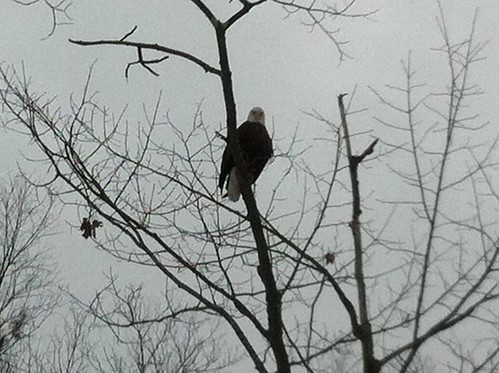
bald eagle staring
Photo: Otter Pond - www.amazingfishametric.com
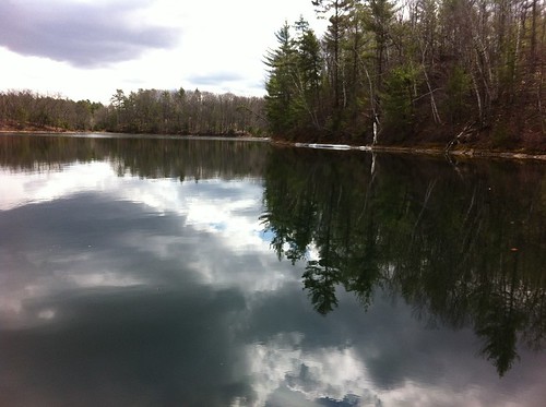
Standish, shoreline view
Photo: Otter Pond - www.amazingfishametric.com


![]() Boat launches
Boat launches
![]() Hills and mountains
Hills and mountains
![]() Nearby lakes
Nearby lakes
NEARBY LAKES
Distance is measured from lake centroid to lake centroid
- Otter Pond #2 within a mile north
- Otter Pond #4 (Snake Pond) within a mile north
- Otter Pond #4 (Snake Pond) within a mile north
- Otter Pond #4 (Snake Pond) within a mile north
- Otter Pond #3 within a mile north
- Otter Pond #3 within a mile north
- Otter Pond #4 (Snake Pond) within a mile north
- Otter Pond #2 within a mile north
- Otter Pond #2 within a mile north
- Otter Pond #3 within a mile north
Lake Water Quality Reports
Summaries for most often used measurements to describe the water quality of Otter Pond #2.
Otter Pond #2
Terms of Use: click here »