
Mud Pond
Greenwood, Oxford, Maine
MIDAS 3486
| Area (acres): | 54 |
| Perimeter (miles): | 1.7 |
| Mean Depth (feet): | 4 |
| Max Depth (feet): | 6 |
| Delorme Page: | 10 |
| Fishery Type: | Warmwater |
| Invasive Aquatic Plant Infestation: | None known |
Other Lake & Watershed Information
Boating & Fishing Regulations for this and other Maine waters are available here.
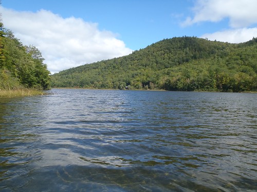
general view
Photo: Mud Pond - www.amazingfishametric.com
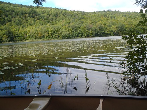
view from launch
Photo: Mud Pond - www.amazingfishametric.com


![]() Boat launches
Boat launches
![]() Hills and mountains
Hills and mountains
![]() Nearby lakes
Nearby lakes
NEARBY LAKES
Distance is measured from lake centroid to lake centroid
- Hicks Pond 1.47 miles northwest
- Furlong Pond 1.64 miles southwest
- Overset Pond 3.14 miles northwest
- Speck Pond #2 3.23 miles southwest
- Speck Pond #1 3.23 miles southwest
- Hutchinson Pond 3.28 miles southwest
- North Pond 3.63 miles east
- Indian Pond 4.14 miles north
- Paine Pond 4.92 miles east
- Twitchell Pond 5.06 miles northwest
Lake Water Quality Reports
Summaries for most often used measurements to describe the water quality of Mud Pond.
Mud Pond
Terms of Use: click here »