
Sabbathday Lake
New Gloucester, Cumberland, Maine
MIDAS 3700
| Area (acres): | 342 |
| Perimeter (miles): | 5 |
| Mean Depth (feet): | 24 |
| Max Depth (feet): | 68 |
| Delorme Page: | 5 |
| Fishery Type: | Coldwater + Warmwater |
| Invasive Aquatic Plant Infestation: | None known |
Other Lake & Watershed Information
Maine DEP Lake Scorecard 
The Scorecard summarizes many types of lake data into one color-coded graphic, based on current conditions or trends in the lake's health. The color is indicative of an overall condition assessment of each category: blue = good, yellow = fair, and red = poor. Grey indicates there is not enough data for an assessment.
A small number of lakes have more than one hydrologic basin, and there will be scorecards for each basin.
Click the Scorecard image or images below to open the interactive Scorecard and learn more about each of the categories and their respective parameters -- and to get involved!
Questions? Email: MaineDEPLakeScorecard@Maine.gov

Boating & Fishing Regulations for this and other Maine waters are available here.
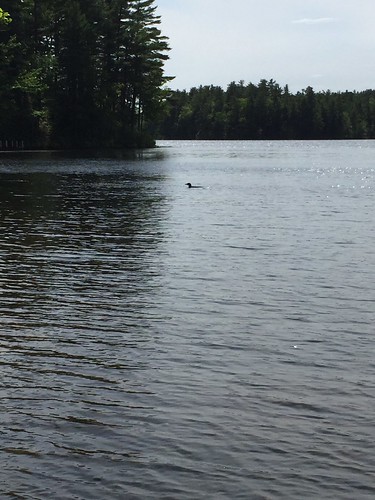
Photo: Sabbathday Loon - D Grant
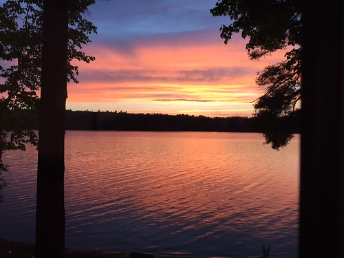
Photo: Sabbathday Lake Sunset- D Grant


![]() Boat launches
Boat launches
![]() Hills and mountains
Hills and mountains
![]() Nearby lakes
Nearby lakes
NEARBY LAKES
Distance is measured from lake centroid to lake centroid
- The Sinkhole 1.47 miles southeast
- Shaker Bog 1.65 miles west
- Chandler Mill Pond Lily Pond) 1.68 miles east
- Notched Pond 2.56 miles southwest
- Worthley Pond 2.81 miles north
- Upper Range Pond 3.24 miles northwest
- Pumphouse (Mud) Pond 3.45 miles north
- Crystal Lake (Dry Pond) 3.49 miles south
- Estes Bog 3.72 miles northwest
- Middle Range Pond 3.76 miles northwest
Sabbathday Lake
Terms of Use: click here »