
Sabbathday Lake
New Gloucester, Cumberland, Maine
MIDAS 3700
| Area (acres): | 342 |
| Perimeter (miles): | 5 |
| Mean Depth (feet): | 24 |
| Max Depth (feet): | 68 |
| Delorme Page: | 5 |
| Fishery Type: | Coldwater + Warmwater |
| Invasive Aquatic Plant Infestation: | None known |
Other Lake & Watershed Information
Boating & Fishing Regulations for this and other Maine waters are available here.
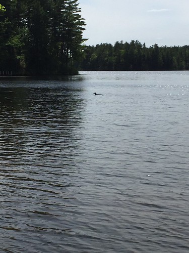
Photo: Sabbathday Loon - D Grant
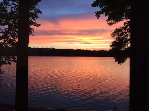
Photo: Sabbathday Lake Sunset- D Grant


![]() Boat launches
Boat launches
![]() Hills and mountains
Hills and mountains
![]() Nearby lakes
Nearby lakes
NEARBY LAKES
Distance is measured from lake centroid to lake centroid
- The Sinkhole 1.47 miles southeast
- Shaker Bog 1.65 miles west
- Chandler Mill Pond Lily Pond) 1.68 miles east
- Notched Pond 2.56 miles southwest
- Worthley Pond 2.81 miles north
- Upper Range Pond 3.24 miles northwest
- Pumphouse (Mud) Pond 3.45 miles north
- Crystal Lake (Dry Pond) 3.49 miles south
- Estes Bog 3.72 miles northwest
- Middle Range Pond 3.76 miles northwest
Lake Water Quality Reports
Summaries for most often used measurements to describe the water quality of Sabbathday Lake.
Sabbathday Lake
Terms of Use: click here »