
Chandler Mill Pond (Lily Pond)
New Gloucester, Cumberland, Maine
MIDAS 3702
| Area (acres): | 24 |
| Perimeter (miles): | 0.9 |
| Mean Depth (feet): | 12 |
| Max Depth (feet): | 23 |
| Delorme Page: | 5 |
| Fishery Type: | Coldwater + Warmwater |
| Invasive Aquatic Plant Infestation: | None known |
Other Lake & Watershed Information
Boating & Fishing Regulations for this and other Maine waters are available here.
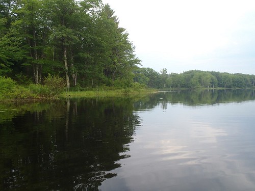
general view 2
Photo: Lily Pond - www.amazingfishametric.com
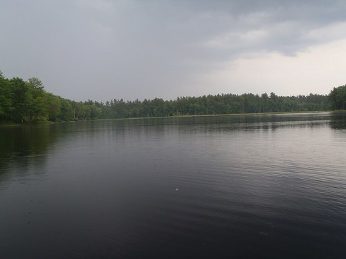
general view
Photo: Lily Pond - www.amazingfishametric.com


![]() Boat launches
Boat launches
![]() Hills and mountains
Hills and mountains
![]() Nearby lakes
Nearby lakes
NEARBY LAKES
Distance is measured from lake centroid to lake centroid
- Sabbathday Lake 1.68 miles west
- The Sinkhole 1.97 miles southwest
- Worthley Pond 2.81 miles northwest
- Shaker Bog 3.20 miles west
- Pumphouse (Mud) Pond 3.65 miles northwest
- Notched Pond 3.90 miles southwest
- Crystal Lake (Dry Pond) 4.25 miles southwest
- Middle Range Pond 4.54 miles northwest
- Upper Range Pond 4.56 miles west
- Lower Range Pond 4.76 miles northwest
Lake Water Quality Reports
Summaries for most often used measurements to describe the water quality of Chandler Mill Pond (Lily Pond).
Chandler Mill Pond (Lily Pond)
Terms of Use: click here »