
No Name Pond
Lewiston, Androscoggin, Maine
MIDAS 3802
| Area (acres): | 145 |
| Perimeter (miles): | 2.9 |
| Mean Depth (feet): | 21 |
| Max Depth (feet): | 32 |
| Delorme Page: | 12 |
| Fishery Type: | Warmwater |
| Invasive Aquatic Plant Infestation: | None known |
Other Lake & Watershed Information
Boating & Fishing Regulations for this and other Maine waters are available here.
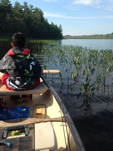
shoreline view
Photo: No Name Pond - www.amazingfishametric.com


![]() Boat launches
Boat launches
![]() Hills and mountains
Hills and mountains
![]() Nearby lakes
Nearby lakes
NEARBY LAKES
Distance is measured from lake centroid to lake centroid
- Reservoir 1.99 miles west
- Sabattus Pond 2.42 miles northeast
- Round Pond 2.49 miles east
- Lake Andrews 3.06 miles west
- Sutherland Pond 4.05 miles east
- Pettingill Park Pond 4.53 miles west
- Daggett Bog (Boggy Pond) 4.60 miles northwest
- Loon (Spear) Pond 4.69 miles east
- Curtis Bog 5.02 miles east
- Auburn Lake 5.64 miles west
Lake Water Quality Reports
Summaries for most often used measurements to describe the water quality of No Name Pond.
No Name Pond
Terms of Use: click here »