
Bartlett Pond
Livermore, Androscoggin, Maine
MIDAS 3820
| Area (acres): | 28 |
| Perimeter (miles): | 1.1 |
| Mean Depth (feet): | 12 |
| Max Depth (feet): | 26 |
| Delorme Page: | 11 |
| Fishery Type: | Coldwater |
| Invasive Aquatic Plant Infestation: | None known |
Other Lake & Watershed Information
Boating & Fishing Regulations for this and other Maine waters are available here.

Photo Credit:
Photo: Bartlett_3820_Jonnie Maloney
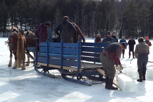
Photo Credit: Washburn-Norlands Living History Center
Photo: Bartlett_3820_Washburn-Norlands Living History Center


![]() Boat launches
Boat launches
![]() Hills and mountains
Hills and mountains
![]() Nearby lakes
Nearby lakes
NEARBY LAKES
Distance is measured from lake centroid to lake centroid
- Long Pond 2.07 miles north
- Brettuns Pond 2.10 miles west
- Round Pond 2.13 miles northwest
- Nelson Pond 2.83 miles west
- Turner Pond 4.91 miles northeast
- Rack Pond 5.24 miles northeast
- Round Pond 5.24 miles northeast
- Schoolhouse Pond 5.36 miles northeast
- Forest Pond 5.40 miles northwest
- Bear & Little Bear Pds 5.40 miles southwest
Lake Water Quality Reports
Summaries for most often used measurements to describe the water quality of Bartlett Pond.
Bartlett Pond
Terms of Use: click here »