
Jamies (Jimmie) Pond
Farmingdale, Manchester, Kennebec, Maine
MIDAS 5302
| Area (acres): | 99 |
| Perimeter (miles): | 3 |
| Mean Depth (feet): | 34 |
| Max Depth (feet): | 75 |
| Delorme Page: | 12 |
| Fishery Type: | Coldwater |
| Invasive Aquatic Plant Infestation: | None known |
Other Lake & Watershed Information
Boating & Fishing Regulations for this and other Maine waters are available here.
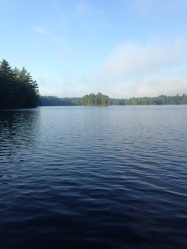
general view
Photo: Jamies Pond - www.amazingfishametric.com
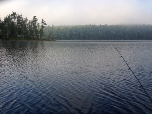
side view
Photo: Jamies Pond - www.amazingfishametric.com


![]() Boat launches
Boat launches
![]() Hills and mountains
Hills and mountains
![]() Nearby lakes
Nearby lakes
NEARBY LAKES
Distance is measured from lake centroid to lake centroid
- Little Jimmie Pond 0.85 miles southwest
- Bog Pond 1.47 miles northwest
- Hutchinson (Hudson, Sanborn) Pond 1.47 miles south
- Quarry Pond 2.55 miles northeast
- Lily Pond 2.57 miles west
- Vaughn (Cascade) Pond 2.98 miles east
- Water Supply Pond 3.05 miles east
- Cobbosseecontee Lake 3.54 miles west
- Little Cobbosseecontee 3.76 miles northwest
- Kezar Pond 4.06 miles northwest
Lake Water Quality Reports
Summaries for most often used measurements to describe the water quality of Jamies (Jimmie) Pond.
Jamies (Jimmie) Pond
Terms of Use: click here »