
North Pond & Little Pond
Rome, Mercer, Smithfield, Kennebec, Maine
MIDAS 5344
| Area (acres): | 2531 |
| Perimeter (miles): | 9.5 |
| Mean Depth (feet): | 13 |
| Max Depth (feet): | 20 |
| Delorme Page: | 20 |
| Fishery Type: | Warmwater |
| Invasive Aquatic Plant Infestation: | Curly-leaf pondweed (confirmed) |
Other Lake & Watershed Information
Boating & Fishing Regulations for this and other Maine waters are available here.
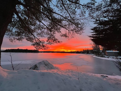
Jan 15, 2023. Photo credit: Jodie Mosher-Towle
Photo: North Pond
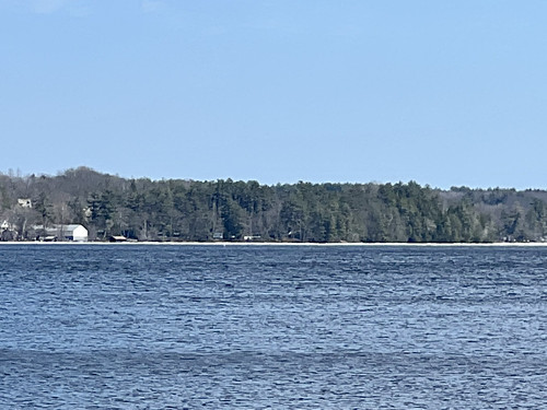
North Pond MIDAS 5344 Ice Out 4.2.23 Jodie Mosher -Towle
Photo: North Pond MIDAS 5344 Ice Out 4.2.23 Jodie Mosher -Towle 1


![]() Boat launches
Boat launches
![]() Hills and mountains
Hills and mountains
![]() Nearby lakes
Nearby lakes
NEARBY LAKES
Distance is measured from lake centroid to lake centroid
- Smith Pond 0.99 miles east
- The Serpentine 1.20 miles northeast
- Ladd Pond 3.04 miles west
- Little Pond 3.13 miles northeast
- East Pond 3.27 miles east
- Mercer Bog (Bog Stream Pond) 4.90 miles west
- Whittier Pond 5.39 miles southwest
- Watson Pond 5.72 miles southwest
- McGrath Pond 5.94 miles southeast
- Round Pond 6.56 miles southwest
Lake Water Quality Reports
Summaries for most often used measurements to describe the water quality of North Pond & Little Pond.
North Pond & Little Pond
Terms of Use: click here »