
Burnt Meadow Pond
Brownfield, Oxford, Maine
MIDAS 5572
| Area (acres): | 65 |
| Perimeter (miles): | 1.9 |
| Mean Depth (feet): | 17 |
| Max Depth (feet): | 45 |
| Delorme Page: | 4 |
| Fishery Type: | Coldwater + Warmwater |
| Invasive Aquatic Plant Infestation: | None known |
Other Lake & Watershed Information
Boating & Fishing Regulations for this and other Maine waters are available here.
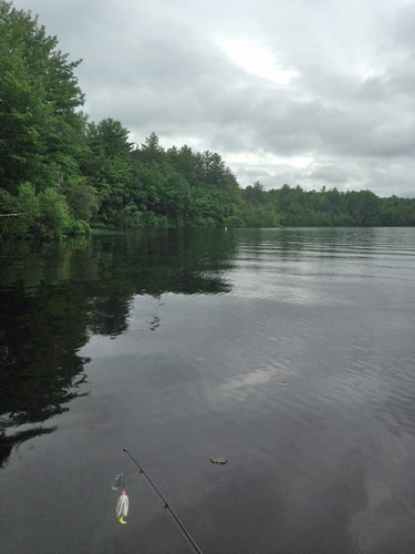
Photo: Burnt Meadow Pond 3 - www.amazingfishametric.com

Photo: Burnt Meadow Pond 4 - www.amazingfishametric.com


![]() Boat launches
Boat launches
![]() Hills and mountains
Hills and mountains
![]() Nearby lakes
Nearby lakes
NEARBY LAKES
Distance is measured from lake centroid to lake centroid
- Stone Pond 2.04 miles southwest
- Tenmile Pond 2.04 miles southeast
- Dyer Pond 2.13 miles south
- Horseshoe Pond 2.49 miles east
- Boston Pond 2.49 miles east
- Round Pond 2.56 miles southeast
- Pequawket Lake 2.85 miles east
- Quint's Bog 2.94 miles northwest
- Burbank Pond 3.30 miles east
- Brownfield Bog 3.49 miles north
Lake Water Quality Reports
Summaries for most often used measurements to describe the water quality of Burnt Meadow Pond.
Burnt Meadow Pond
Terms of Use: click here »