
Data Visualizations - "Vizzes"
Use these interactive Vizzes to delve into Maine's lakes! Learn about their plant & animal plant communities; water quality; and geography & landscape characteristics.
New visualizations are added to this collection from time to time. Let us know if you have any suggestions for new Vizzes!
Photography
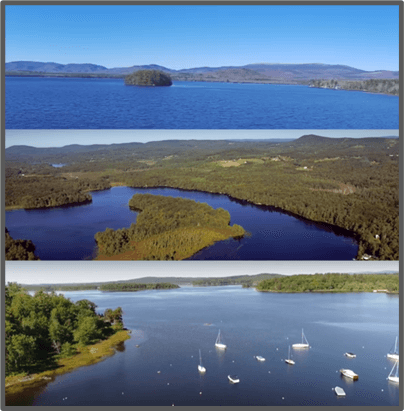
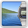
Bird's Eye Views of Maine Lakes
Enjoy aerial videos of 26 lakes. Most videos are published on Youtube.
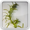
Flora
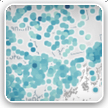
Maine's invasive aquatic plants: Documented infestations
Explore the distributions of 6 invasive plants in our lakes and rivers
Milfoil species in Maine lakes
This map displays the recorded distributions of 9 Myriophyllum species in Maine. The map includes both invasive and native species

Fauna
Chinese mystery snail sightings
Records of the distribution of this invasive snail species, collected/compiled by LSM staff & volunteers.

Crayfish species distribution maps
Documented species distribution maps for 8 species of crayfish in Maine.
Data are from multiple sources, as compiled by P. Vaux for the Maine Aquatic Biodiversity Project (MAPB, 2005).

Fish species in Maine lakes
Map displays fish species lists for each surveyed lake. Data are from IF&W (2007 data export). Fish species lists for some lakes may have changed since 2007 as a result of illegal stockings or natural range expansion. For more current data, consult maps on IF&W website.
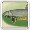
Fish in Maine lakes: native minnows & introduced predators
Explore many aspects of Maine’s lake fisheries in this Tableau ‘story-board’. There is plenty of interactivity, so take your time in exploring this resource!
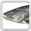
Cooper lake surveys, with fish species lists
This map displays fish species recorded in Maine lakes during surveys conducted from 1938-1944 by G. Cooper and others.

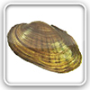
Freshwater mussels - species distributions
3 of Maine’s 10 native freshwater mussel species are listed as Threatened. See where they are!
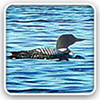
Loon counts: Audubon surveys
For over 34 years, citizen scientists have helped collect invaluable data that has allowed Maine Audubon to chart the progress of the state’s loon population over time. Explore an interactive map for Loon Count results on Maine's lakes from 1983 through today. Zoom in to an area to see lake pins. Then click on a pin to see the loon data. Alternatively, search by lake name.
Water Quality
Maine's 50 clearest-water lakes in 2017
Use this interactive graphic to explore where the 50 lakes with the highest Secchi transparencies are located
Secchi transparency in Maine lakes
Explore water transparency in over 1000 lakes across Maine
Secchi data - overall mean values
Mean values of Secchi depth (a measure of water transparency) represent overall means across all years with data. Number of data years varies by lake. Data are courtesy of Maine DEP & LSM.

Water chemistry data - overall mean values
Explore an interactive map showing water chemistry data in over 1000 Maine lakes.

Number of years with lake data (Secchi, TP, Alk)
Map displays number of years for which data are available for the following water quality parameters in Maine lakes: Secchi transparency, phosphorus and alkalinity.

Near real-time water quality data for selected lakes
Map displays near real-time Secchi transparency data for selected Maine lakes. (Note: data collection & display are from a pilot LSM project, started in 2014 and which will continue in 2015.)
Stewardship
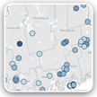
Watershed Surveys in Maine Lakes
See where 67 watershed surveys have been carried out. Click on map pins to access survey reports.

Geography & Morphometry
Lake elevations, areas & depths
Elevation of Maine lakes (>= 10 acres surface area). Also displayed are lake areas, depths and town/county.

Lake or pond? What's in a name?
In Maine, the name of a waterbody does not necessarily correlate to its limnological status.
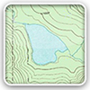
Lake maximum depths
Map shows the depths of 1802 Maine lakes for which measurements exist.

