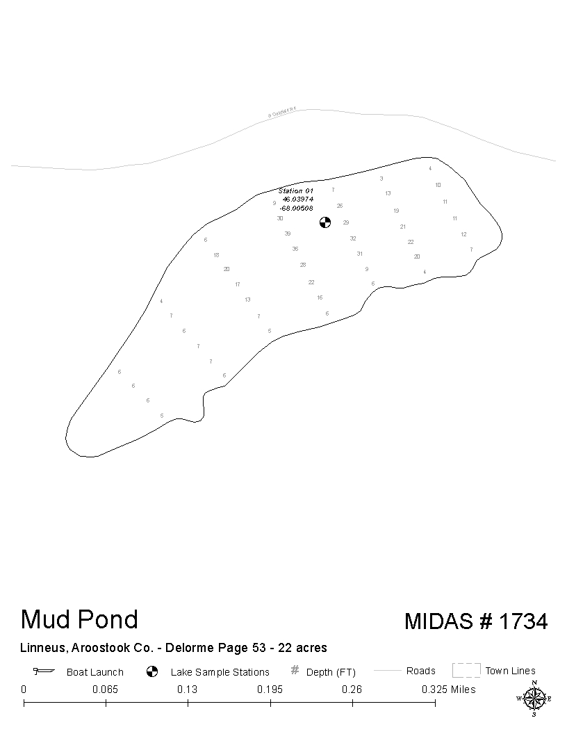
Mud Pond
Linneus, Aroostook, Maine
MIDAS 1734
Water Quality
These charts display the values of water quality indicators for this lake, compared to the range of values seen across all of Maine’s surveyed lakes . Color ramps represent the range of values across all lakes. Yellow diamonds display the mean values for this lake, as averaged across all sampling sites. Click on any diamond to view the data.
To further explore the statewide distribution of indicator values, click on the bar chart icon  . The red lines on the histogram show data from one or more sampling stations for this lake – superimposed on the statewide distribution for the indicator.
NOTE: Where data are identical for multiple stations, those station numbers will be superimposed on each other on the histograms and may thus be difficult to differentiate from each other.
An
 icon indicates that no data are available for this parameter at this lake.


In order to view data for specific years or sampling events, please click the Transparency, Dissolved Oxygen & Temperature, or Chemistry labels above and center on this page.
2018 Reports
Understanding Water Quality
Find out more about how lake water quality is measured and why it matters.
Click here for more »

