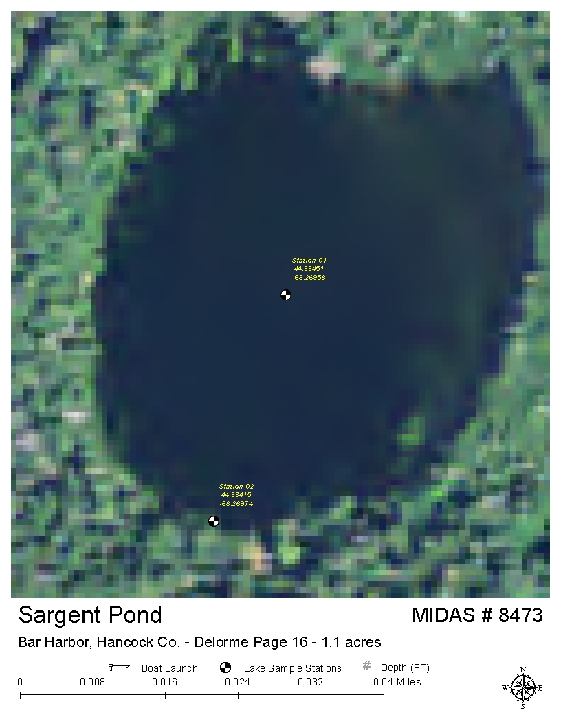
Sargent (Sargent Mountain) Pond
Mount Desert, Hancock, Maine
MIDAS 8473
| Area (acres): | 1 |
| Perimeter (miles): | 0.2 |
| Mean Depth (feet): | |
| Max Depth (feet): | |
| Delorme Page: | 16 |
| Fishery Type: | n/a |
| Invasive Aquatic Plant Infestation: | None known |
Other Lake & Watershed Information
Boating & Fishing Regulations for this and other Maine waters are available here.
![]() Boat launches
Boat launches
![]() Hills and mountains
Hills and mountains
![]() Nearby lakes
Nearby lakes
NEARBY LAKES
Distance is measured from lake centroid to lake centroid
- Jordan Pond 0.50 miles east
- Upper Hadlock Pond 1.21 miles southwest
- Bubble Pond 1.64 miles northeast
- Lower Hadlock Pond 1.70 miles southwest
- Long Pond 2.13 miles southeast
- Eagle Lake 2.30 miles northeast
- Aunt Betty Pond 2.76 miles north
- Echo Lake 3.47 miles west
- Little Echo Lake 3.54 miles west
- Sunken Heath Pond 3.59 miles northwest
RECENT UPDATES!
Eagle Lake: A history of Maine’s first and only cog railway

Eagle Lake is the largest waterbody wholly within Acadia National Park. Decades before the Park was established, an enterprising Brewer native, Francis Clergue, devised a scheme for getting tourists to the top of Cadillac (Green) Mountain - a cog railway running from the shore of Eagle Lake to the summit, along with a steamer ferry to bring clients across the lake from Bar Harbor.
The Water Column

The latest edition of Lake Stewards of Maine’s newsletter contains a great variety of interesting articles on lake science and the many activities of Lake Stewards of Maine.
Loon data from 2022 now available!

Data from the 2022 Maine Audubon Loon Count are now available on this website! The Loon Count is an important and much-loved program and we are so happy to be a part of it. Find the results from 2022 and earlier years via the Browse data link below.
Maine Lakes - Fact & Legend

This book contains a fascinating treasure trove of old photos, lake facts, history & trivia. Long since out-of-print, we have been given permission to present a digital version on this website. Click on the thumbnail above to view the content.
BROWSE THE FULL SET OF
ARTICLES IN OUR SERIES
Sargent (Sargent Mountain) Pond
Terms of Use: click here »


